File:Map with even more borders.png

Size of this preview: 800 × 458 pixels. Other resolutions: 320 × 183 pixels | 640 × 366 pixels | 1,024 × 586 pixels | 1,280 × 733 pixels | 1,806 × 1,034 pixels.
Original file (1,806 × 1,034 pixels, file size: 161 KB, MIME type: image/png)
Summary
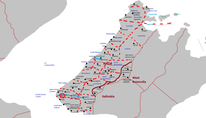
Map of the provinces of Nicholas and Great Britain
File history
Click on a date/time to view the file as it appeared at that time.
| Date/Time | Thumbnail | Dimensions | User | Comment | |
|---|---|---|---|---|---|
| current | 20:46, 27 July 2024 | | 1,806 × 1,034 (161 KB) | Nicholas (talk | contribs) | Map of the provinces of Nicholas and Great Britain |
You cannot overwrite this file.
File usage
The following page uses this file: