File:Map of Mahazhovia.png

Size of this preview: 372 × 600 pixels. Other resolutions: 149 × 240 pixels | 298 × 480 pixels | 476 × 768 pixels | 635 × 1,024 pixels | 1,799 × 2,900 pixels.
Original file (1,799 × 2,900 pixels, file size: 296 KB, MIME type: image/png)
Summary
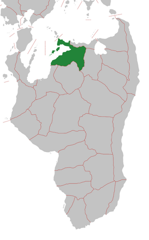
A map of Mahazhovia
File history
Click on a date/time to view the file as it appeared at that time.
| Date/Time | Thumbnail | Dimensions | User | Comment | |
|---|---|---|---|---|---|
| current | 11:44, 3 July 2025 | | 1,799 × 2,900 (296 KB) | Sorna (talk | contribs) | A map of Mahazhovia |
You cannot overwrite this file.
File usage
The following page uses this file: