File:Gianatla Topo Empty.png: Difference between revisions
Jump to navigation
Jump to search

Size of this preview: 556 × 600 pixels. Other resolutions: 222 × 240 pixels | 445 × 480 pixels | 712 × 768 pixels | 949 × 1,024 pixels | 2,240 × 2,416 pixels.
Original file (2,240 × 2,416 pixels, file size: 983 KB, MIME type: image/png)
LordGianni (talk | contribs) m (→Summary: Test) Tags: Reverted Visual edit |
LordGianni (talk | contribs) m (→Summary: Reversal of Test) Tags: Manual revert Visual edit |
||
| Line 1: | Line 1: | ||
== Summary == | == Summary == | ||
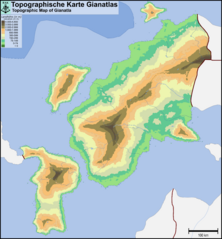
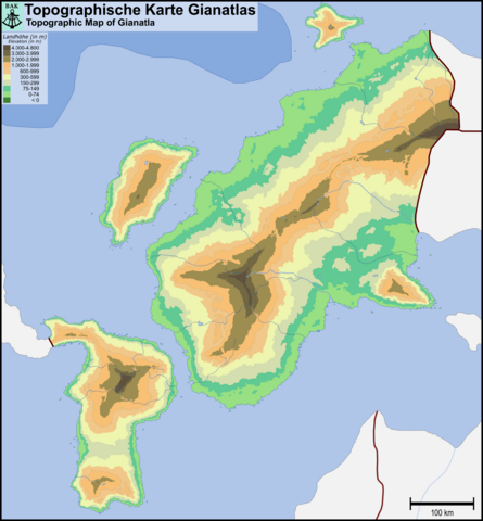
Topographic Map of Gianatla - No details | Topographic Map of Gianatla - No details | ||
Latest revision as of 18:54, 1 May 2024
Summary
Topographic Map of Gianatla - No details
File history
Click on a date/time to view the file as it appeared at that time.
| Date/Time | Thumbnail | Dimensions | User | Comment | |
|---|---|---|---|---|---|
| current | 20:55, 27 April 2024 | | 2,240 × 2,416 (983 KB) | LordGianni (talk | contribs) | Topographic Map of Gianatla - No details |
You cannot overwrite this file.
File usage
The following page uses this file: