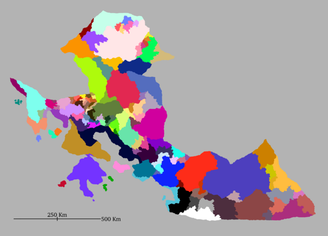
File:Kustannuksan Territories Map.png
Jump to navigation
Jump to search

Size of this preview: 800 × 576 pixels. Other resolutions: 320 × 231 pixels | 640 × 461 pixels | 1,024 × 738 pixels | 1,280 × 922 pixels | 2,243 × 1,616 pixels.
Original file (2,243 × 1,616 pixels, file size: 307 KB, MIME type: image/png)
File history
Click on a date/time to view the file as it appeared at that time.
| Date/Time | Thumbnail | Dimensions | User | Comment | |
|---|---|---|---|---|---|
| current | 21:11, 18 February 2024 | | 2,243 × 1,616 (307 KB) | Galaxiel (talk | contribs) |
You cannot overwrite this file.
File usage
The following page uses this file: