Template:Clickable TSP Map: Difference between revisions
No edit summary Tag: 2017 source edit |
No edit summary Tag: 2017 source edit |
||
| Line 48: | Line 48: | ||
<!-- BODIES OF WATER: --> | <!-- BODIES OF WATER: --> | ||
{{Image label small|x=0.545|y=0.62|scale=1000|text=[[South Pacific Ocean (Pacifica)|<span style="color:BLUE;">''South<br>Pacific<br>Ocean''</span>]]}} | {{Image label small|x=0.545|y=0.62|scale=1000|text=[[South Pacific Ocean (Pacifica)|<span style="color:BLUE;">''South<br>Pacific<br>Ocean''</span>]]}} | ||
{{Image label small|x=0.1|y=0.62|scale=1000|text=[[Cordilian Sea (Pacifica)|<span style="color:BLUE;">''Cordilian<br>Sea''</span>]]}} | |||
<!-- KEY: --> | <!-- KEY: --> | ||
Revision as of 14:59, 8 August 2022
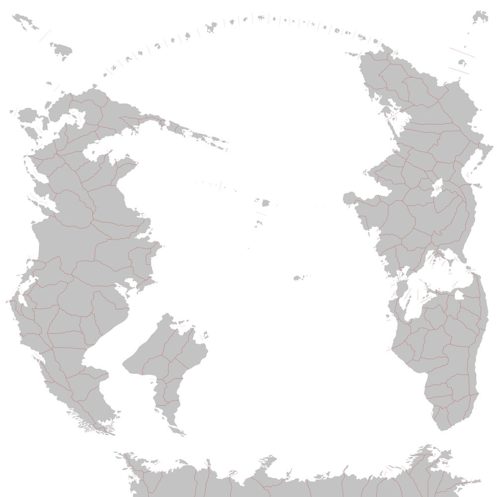
Clickable map of TSP.
This template generates a clickable map of the South Pacific (Pacifica).
To add a country, edit the template, find the section with countries from your continent, and add:
{{Image label small|x=0.XXX|y=0.XXX|scale=1000|text=[[NATION (Pacifica)|<span style="color:black;">NATION</span>]]}}
Replace NATION with the name of your nation.
The values for x and y need to be adjusted manually, and must be decimals between 0 and 1. These values determine the position of the top-left corner of your label. For example, x=0,y=0 is located at the top-left corner; x=0.5,y=0.5 is located at the center of the image; x=1,y=1 is located at the bottom-right corner; and x=0.75,y=0.5 is located 75% of the entire map's width from the left, and half of the entire map's height from the top.
